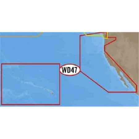
<b>NA-D024 - U.S. West Coast and Hawaii</b> <br /> <br />Coverage of the Pacific Coast of the United States, including all of the coasts of California, Oregon and Washington. Coverage of Baja California and Mexico down to Puerto Vallarta. Detail of the Columbia River, Sacramento River, Willamette River. Snake River and San Joaquin Rivers are also included. Full coverage of Puget Sound and the San Juan Islands up to Point Roberts is also included. Additional coverage of the Hawaiian Islands out to Midway and Johnston Atoll is also included. <br /> <br /> <b>Full 4D Content</b> <br />When you choose Full 4D content you will experience the latest in navigation data and technology such as: <br /> <br /> <ul> <li><b>3D Chart View</b> - The world has three dimensions. <br />When you add the 4th dimension of time - meaning consistent, periodic updates - you combine the most detailed 3D height and depth worldwide database with a continuous update process to give you a personalized navigation experience with up-to-date data for safe navigation.<br /></li> <li><b>High-Resolution Satellite Imagery</b> - See the real world on your screen.<br />C-MAP 4D includes a navigational perspective with high-resolution coastal imagery overlaid on the most accurate and up-to-date vector data, plus thousands of extraordinary photos for the most popular marinas and areas of interest.<br /></li> <li><b>Digital Raster Charts</b> - Innovate tradition.<br />With raster charts, you have an additional reference source for navigational awareness. Get "at-a-glance" information using the nautical paper charts overlaid on the multi-dimensional shaded relief to have a new visual experience.<br /></li> <li><b>Easy Routing</b> - Automatically create a route.<br />Enter start and end points along with specific boat parameters and automatically receive waypoints of the shortest route; highlights potential hazards and displays varying levels of alerts for each segment of the r- SKU: CW48109</li> </ul>
Gallery
Attributes
Distributor offers
| Seller | SKU | MOQ | In stock | Multiple | Prices |
|---|---|---|---|---|---|
| Walmart | 551774523 | 1 | -2 | 1 | 1 @ $308.16 |
| CMU-NA-D024-FULL | 1 | 5 | 1 | 1 @ $360.20 |
Related on Amazon
As an Amazon Associate, we earn from qualifying purchases. (paid link) CERTAIN CONTENT THAT APPEARS ON THIS SITE COMES FROM AMAZON. THIS CONTENT IS PROVIDED 'AS IS' AND IS SUBJECT TO CHANGE OR REMOVAL AT ANY TIME.
C-MAP 4D Na-D024 Full Usa West Coast And Hawaii - NA-D024-FULL
Brand: C-Map / Usa