C-Map . NA-C332C/CARD
Gallery

Attributes
Distributor offers
| Seller | SKU | MOQ | In stock | Multiple | Prices |
|---|---|---|---|---|---|
| iboats.com | IB00645272 | 1 | 3 | 1 | 1 @ $296.99 |
 Zoro Zoro | G5315896 | 1 | 1 | 1 @ $346.43 | |
| marine.com | 11-64838 | 1 | 1 | ||
 lg-outdoors.com lg-outdoors.com | 5922531 | 1 | 1 | 1 @ $244.86 |
Related on Amazon
As an Amazon Associate, we earn from qualifying purchases. (paid link) CERTAIN CONTENT THAT APPEARS ON THIS SITE COMES FROM AMAZON. THIS CONTENT IS PROVIDED 'AS IS' AND IS SUBJECT TO CHANGE OR REMOVAL AT ANY TIME.

C-MAP Nt+ Na-C332 C-Card Format Block Island and - NA-C332C/CARD
Brand: C-MAP
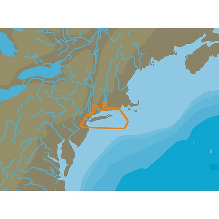
NT + NA-C332 Block Island & Long Island – C-Card Format. Coverage area:. Block Island & Long Island. Card format:. c-card. C-MAP NT+ mapping helped launch a digital charting revolution years ago, and it's still as useful and reliable as ever. For Anglers, Sailors and Cruisers who continue to rely on C-MAP NT+, we have double yearly updates available to ensure that boaters benefit from all of the latest updates from Coast Guard Notice to Mariner Chart Changes (NTM) of Important and other data. Features:. Comprehensive Vector Charts C-MAP NT+ provides Boaters with accurate, up-to-date Vector chart detail, including depth zones and contours, Spot sounds, navaids, light color sectors, Wrecks/obstructions, small boat facilities. and more. Harbor & Details Diagrams Focus The detail and information available with C-MAP NT+ allows Boaters to approach any Harbor and enter with confidence – The perfect conclusion to a long voyage, sailing adventure or exciting day of Bluewater fishing. Tides C-MAP NT+
Listing
| Binding | Misc. |
|---|---|
| Product group | Sports |
| Product type | MAPS |
| Part number | NA-C332C/CARD |
| Label | C-MAP |
| Manufacturer | C-MAP |