Humminbird CoastMaster
Gallery
Attributes
Distributor offers
| Seller | SKU | MOQ | In stock | Multiple | Prices |
|---|---|---|---|---|---|
| 602014-1 | 1 | 1 | 1 @ $299.99 | ||
| 88682 | 1 | 1 | 1 @ $299.99 | ||
| HUM602014-1 | 1 | 42 | 1 | 1 @ $299.99 | |
 delawarepaddlesports.com delawarepaddlesports.com | 602014-1 | 1 | -2 | 1 | 1 @ $299.99 |
 unbeatablesale.com unbeatablesale.com | CW82647 | 1 | Out Of Stock | 1 | 1 @ $254.22 |
| riversendmarine.com | 88682 | 1 | 1 | ||
| HUMMINBIRD LAKEMASTER -602014-1 | 1 | -2 | 1 | 1 @ $214.29 | |
 socalpowersports.com socalpowersports.com | 602014-1 | 1 | 1 | 1 @ $299.99 | |
| 602014-1 | 1 | Contact Us | 1 | 1 @ $299.99 | |
 cemarine.com cemarine.com | 88682 | 1 | 1 | 1 @ $299.99 | |
 ritelinemarine.com ritelinemarine.com | 88682 | 1 | 1 | 1 | 1 @ $299.99 |
| HUM-602014-1 | 1 | 45 | 1 | 1 @ $299.99 | |
| 602014-1 | 1 | 19 | 1 | 1 @ $299.99 | |
| CWR-88682 | 1 | -2 | 1 | 1 @ $299.99 | |
| 6091602 | 1 | 1 | 1 @ $233.77 | ||
 wateryachtsolutions.com wateryachtsolutions.com | HUM6020141 | 1 | 6 | 1 | 1 @ $299.99 |
Related on Amazon
As an Amazon Associate, we earn from qualifying purchases. (paid link) CERTAIN CONTENT THAT APPEARS ON THIS SITE COMES FROM AMAZON. THIS CONTENT IS PROVIDED 'AS IS' AND IS SUBJECT TO CHANGE OR REMOVAL AT ANY TIME.
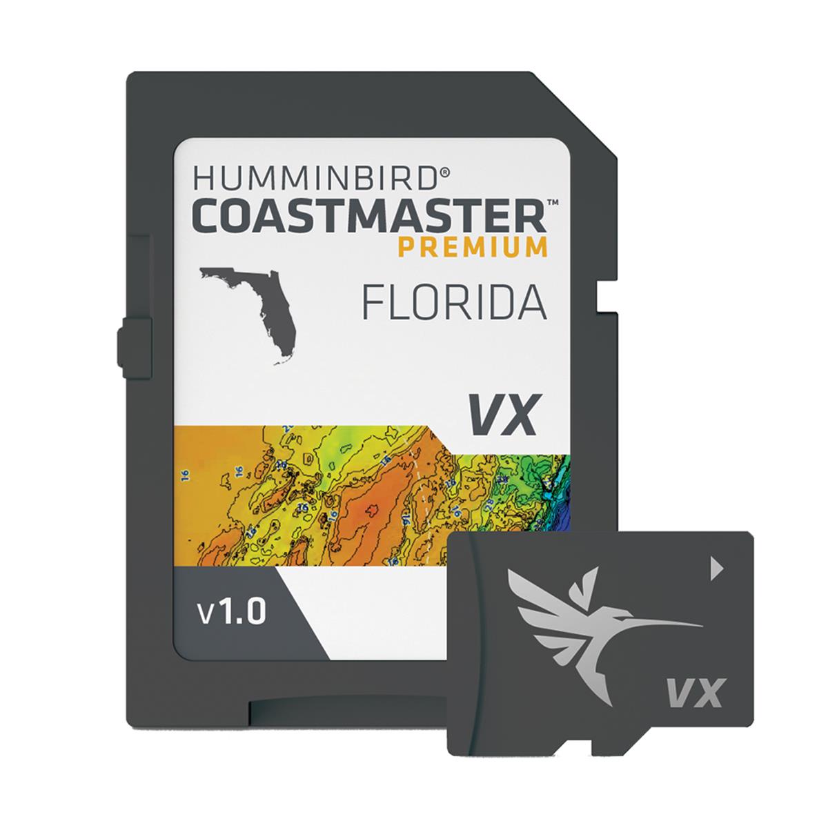
Humminbird 602014-1 CoastMaster Premium Florida V1 Digital GPS Maps Micro Card
Brand: Humminbird
Details
- Find the path to your next big catch with the incredible accuracy and detail of Humminbird CoastMaster Premium, Florida providing highly accurate chart coverage for all Florida waters
- See the world your way with three preset views. It’s quick and easy to switch from fishing charts to nautical charts, or to create your own custom view settings
- Using predictive software, CoastMaster allows you to plan your fishing day with tidal direction and height, as well as the speed and direction of currents and more, so you’ll never be caught guessing
- Create up to four user-defined depth highlight ranges, so you can easily target productive water and stay in the bite zone
- Synchronize the depth contours and shorelines of your CoastMaster charts with the actual water levels, so that your chart will reflect the current water level of your fishing spots