Humminbird LakeMaster Manitoba Chart - Version 1 600056-1HUMMINBIRD LAKEMASTER
Gallery
Attributes
Distributor offers
| Seller | SKU | MOQ | In stock | Multiple | Prices |
|---|---|---|---|---|---|
| 600056-1 | 1 | 1 | 1 @ $124.99 | ||
 Anchor Express Anchor Express | 85800 | 1 | 1 | 1 @ $77.99 | |
| delawarepaddlesports.com | 600056-1 | 1 | 1 | ||
| campingworld.com | 727169 | 1 | Ships from vendorThis item is currently not available | 1 | |
 Zoro Zoro | G204401860 | 1 | 1 | 1 @ $120.76 | |
| riversendmarine.com | 85800 | 1 | 1 | ||
| HUMMINBIRD LAKEMASTER -600056-1 | 1 | -2 | 1 | 1 @ $89.28 | |
 socalpowersports.com socalpowersports.com | 600056-1 | 1 | 1 | 1 @ $124.99 | |
| primebuy.com | 600056-1 | 1 | 1 | ||
| cemarine.com | 85800 | 1 | 1 | ||
 ritelinemarine.com ritelinemarine.com | 85800 | 1 | 5 | 1 | 1 @ $118.99 |
| HUM-600056-1 | 1 | 1 | 1 @ $129.99 | ||
| 082324055898 | 1 | 1 | |||
| 600056-1 | 1 | 1 | 1 @ $93.92 |
Related on Amazon
As an Amazon Associate, we earn from qualifying purchases. (paid link) CERTAIN CONTENT THAT APPEARS ON THIS SITE COMES FROM AMAZON. THIS CONTENT IS PROVIDED 'AS IS' AND IS SUBJECT TO CHANGE OR REMOVAL AT ANY TIME.

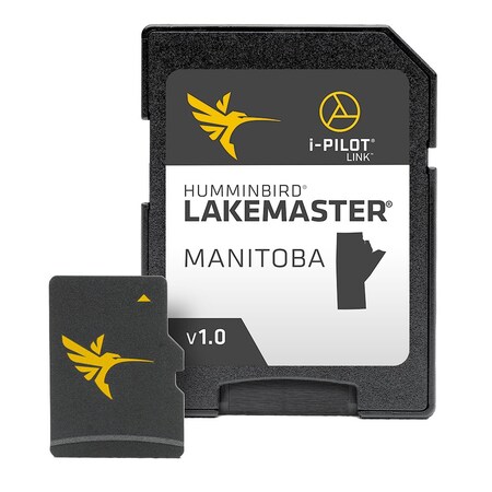
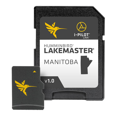
Humminbird 600056-1 LakeMaster Manitoba V1 Digital GPS Maps Micro Card
Brand: Humminbird
Details
- Version 1 includes over 160 lakes and rivers, including 100+ HD waters, such as Falcon Lake, Lake of the Prairies, Lake Winnipeg (southern basin) and the Winnipeg River. Additionally, this chart also includes complete HD coverage for Lake of the Woods, Rainy Lake and Rainy River
- LakeMaster microSD/SD cards include chart adjustment features such as Depth Highlight, Shallow Water Highlight and Water Level Offset, which can be used exclusively with Humminbird fish finders
- Can be used with Minn Kota i-Pilot Link, allowing you to “Follow” a selected depth contour line, delivering precise, automatic boat control
- Scrollable lake list allows you to view and research lakes from your Humminbird fish finder on and off the water
- LakeMaster cards are compatible with all GPS-equipped HELIX, SOLIX, ONIX and ION Series models, along with select 600-1100 Series models
Listing
| Binding | Electronics |
|---|---|
| Product group | Wireless |
| Product type | GPS_OR_NAVIGATION_SYSTEM |
| Model | 600056-1 |
| Part number | 600056-1 |
| Items per pack | 1 |
| Label | Humminbird |
| Manufacturer | Humminbird |